GLOBAL GREEN MONITORING


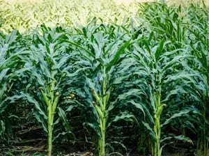
AGRICULTURE
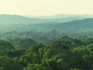
FORESTS
URBAN STUDIES
Global Green Monitoring uses NASA Satellites to capture detailed photos of greenery, including dense forest cover, and converts those images to uncover deforestation, logging, disease, poor water flow and other disturbance events. This innovation takes urban planning, forestry and agriculture to the next level.
Global Green Monitoring is more than just a thermal imaging system. We utilize innovative technology that converts satellite images into quantitative greenness maps to monitor changes in forests, urban forests and agricultural crops.
Our technology has been developed over 30 years of research and continues to innovate every day. Click the links to read our published works and learn how our Global Green Monitoring technology is improving agriculture returns, aiding urban development and helping tackle deforestation around the globe.


i-Cultiver is a unique company model, providing access to research for our industry partners and bringing industry application to our research collaborators.
info@i-cultiver.com
California Bay Area, United States
Join Our Mailing List
COPYRIGHT 24 I-CULTIVER INC
